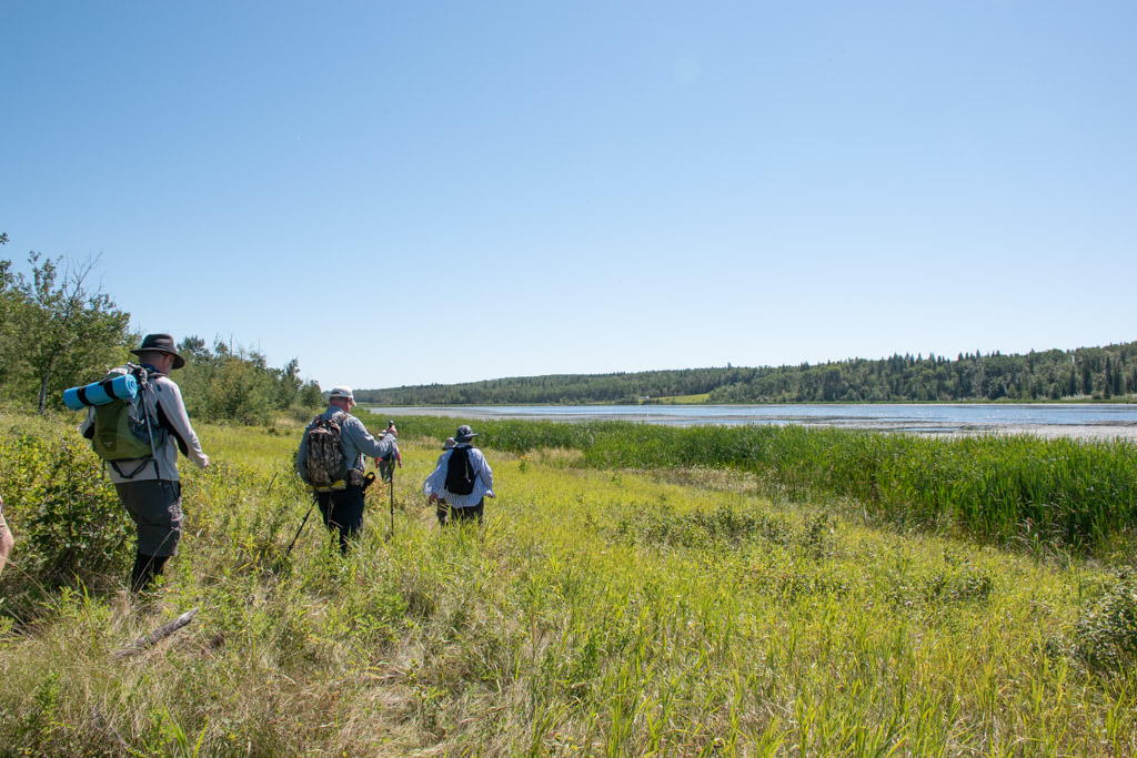
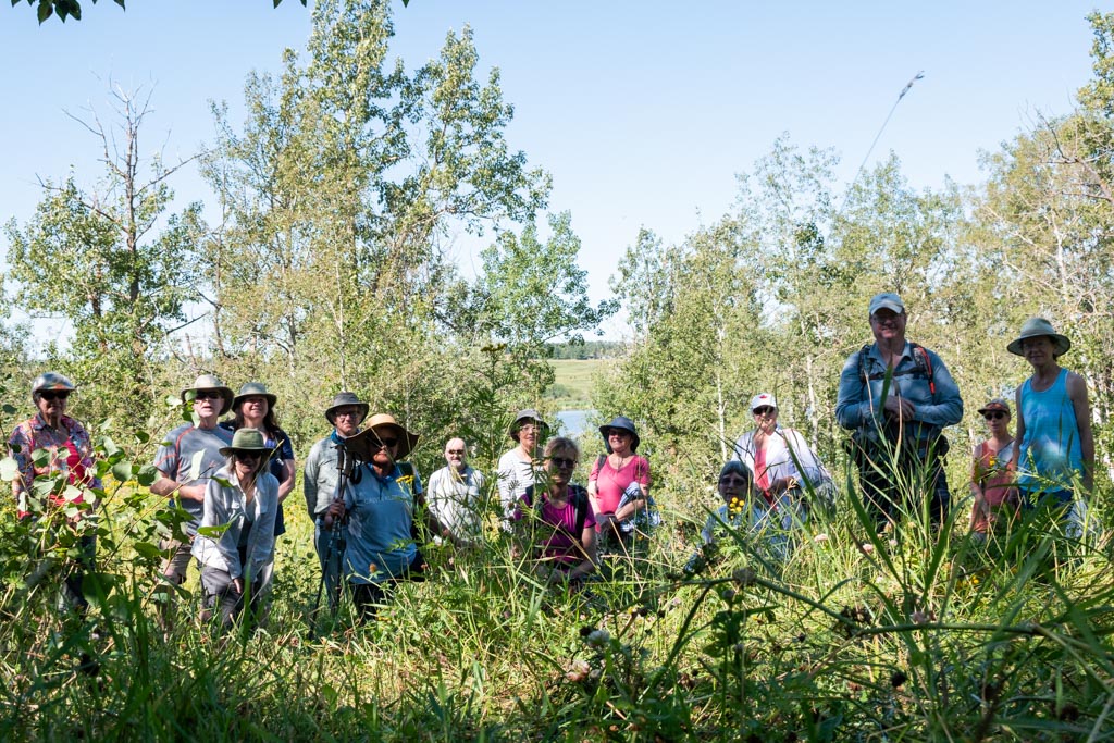
Sixteen people came out to hike the Middle Battle River section of the trail. Our starting point was at the Ross Flats campground on Highway 21 near Duhamel. We ducked across the road (much faster than real ducks) and after a short walk around the edge of a farmer’s field, we were on the open mossy floor of the ancient forest.

Moving quickly because of mosquitos, and dodging a few wet spots, we made our way past elderberries, mushrooms, bunchberries, and many other plants that love the shade with occasional dappled sunlight.
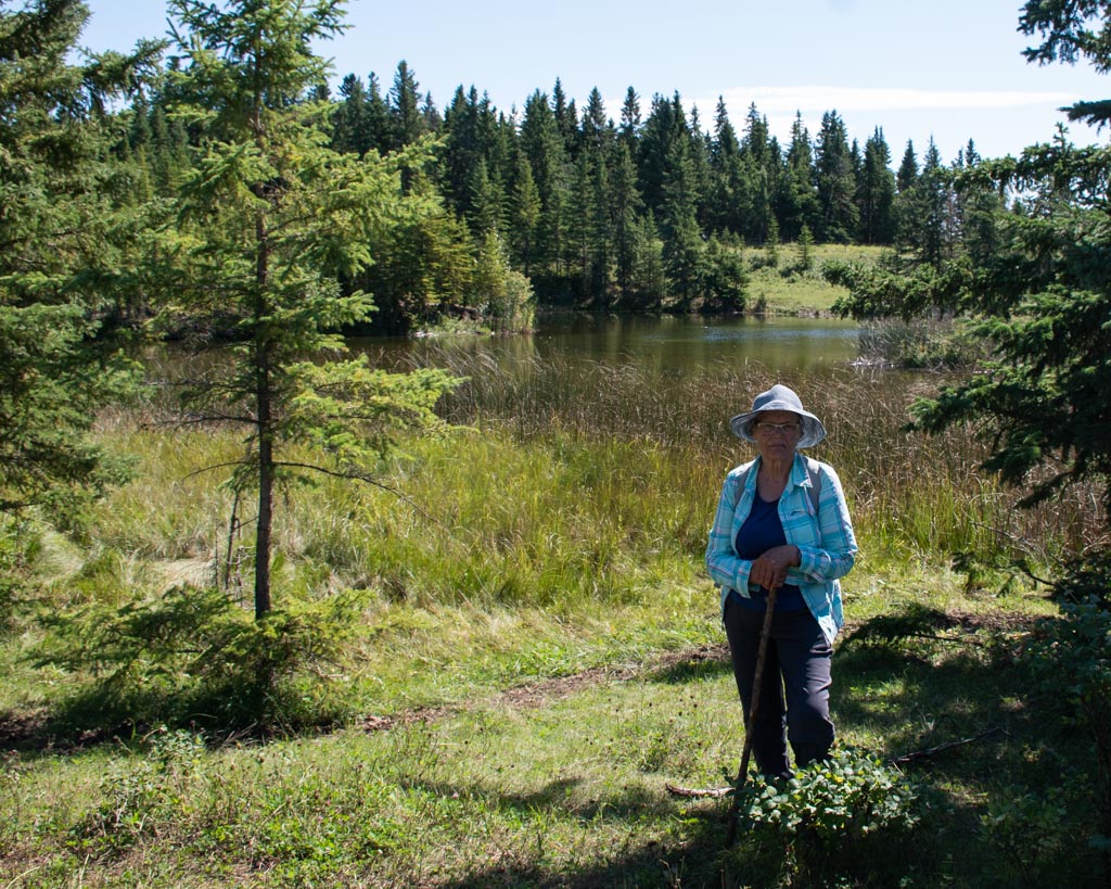
Eventually we reached the top, where we found the picturesque pond that was once a gravel pit. This is where we lingered for some time on our return trip, which is a tradition for this hike.
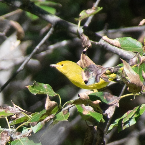
More up and downs, under blue skies all the way until we reached the Trautmanns’ camping spot where we had lunch. This is where we spotted a warbler.
After lunch we paid homage to Peter Fidler at Fidler’s monument a short distance away.
Thanks to Lee to for scouting the hike and to Trail Maintenance for the fantastic job of trail-clearing and mowing.
You can find more photos on Flickr.