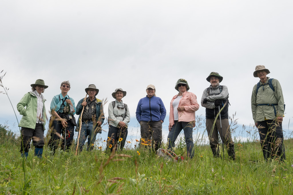
Eight people came out to hike the Pipestone Creek trail, despite the rain we had to drive through to get there. A clear example of how we are not easily held back from our Sunday guided hikes. Fortunately, the rain was letting up as we arrived at the trail head and by the end of the hike the weather had turned sunny and warm. That`s an example of how Alberta prairie weather can change on dime.
We started our hike from the edge of a farm and headed directly to the slope of the Pipestone valley. The first part of the trail section is on land that tends to fall in from time to time. Over the years we have enhanced the trail with long boardwalks to fill the gaps and we added a switchback. This year we had to cut a new segment into a slope—currently it’s a little muddy when wet, but it will soon fill in with grass.
Overall, the first part of the trail is narrow in places and has many ups and downs. It might be challenging for some, but everyone agrees it is fun to take and the views are superb.
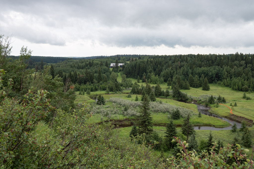
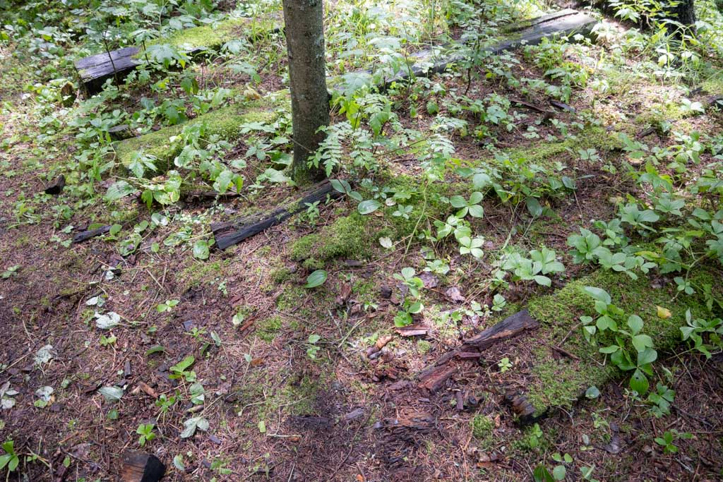
There is a place on the trail of historical significance. As Stan Skirrow wrote many years ago in the Waskahegan Trail Guide Book, “[The trail] dips into the valley to pass through Len’s Parkland. Len McAhonic of Wetaskiwin built a bottle house, children’s rides and a small section of railroad. It was a fine place for birthday parties. Very little remains except the railway grade and ties that you walk on.”
Here is a glimpse of the rail ties that are still visible on the forest floor.
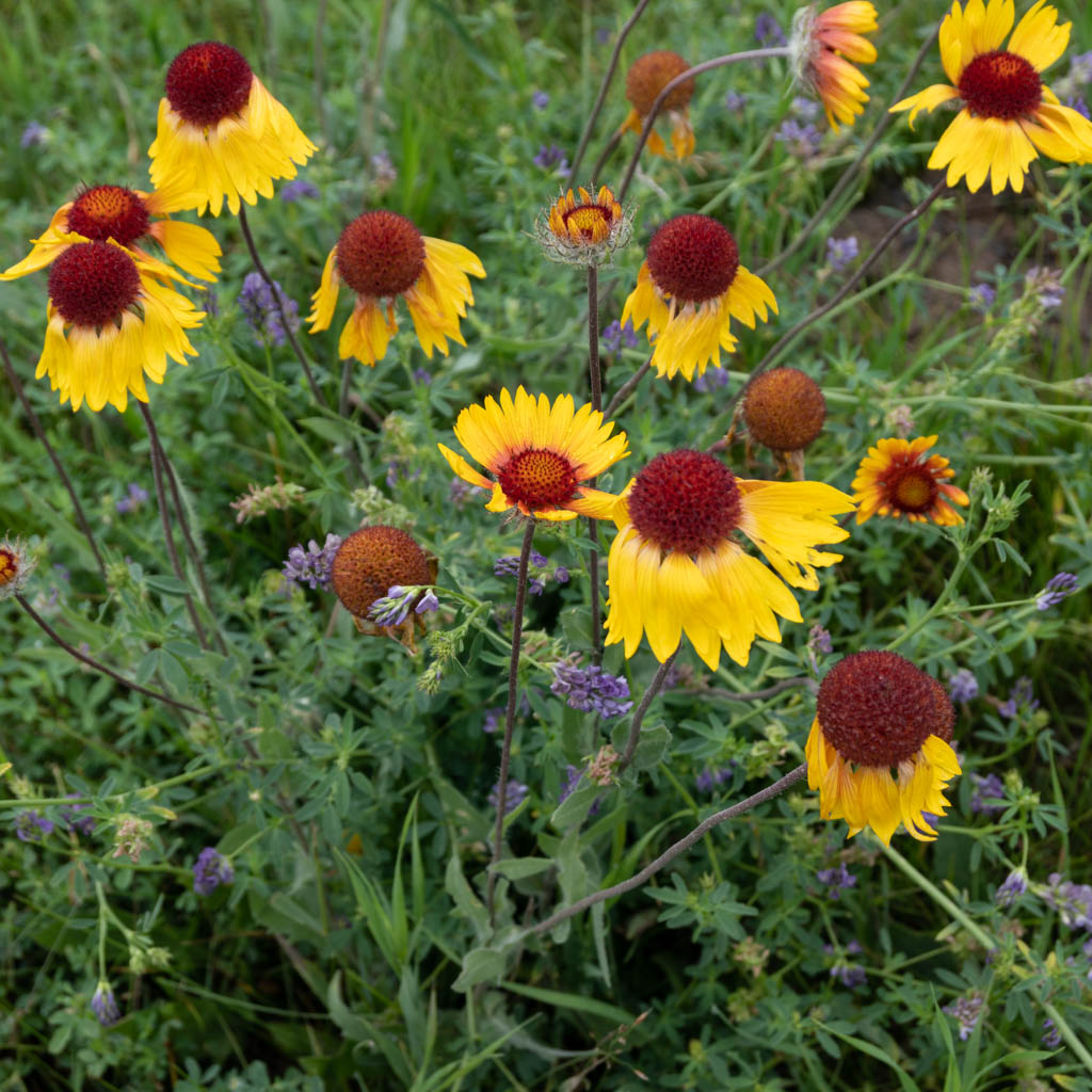
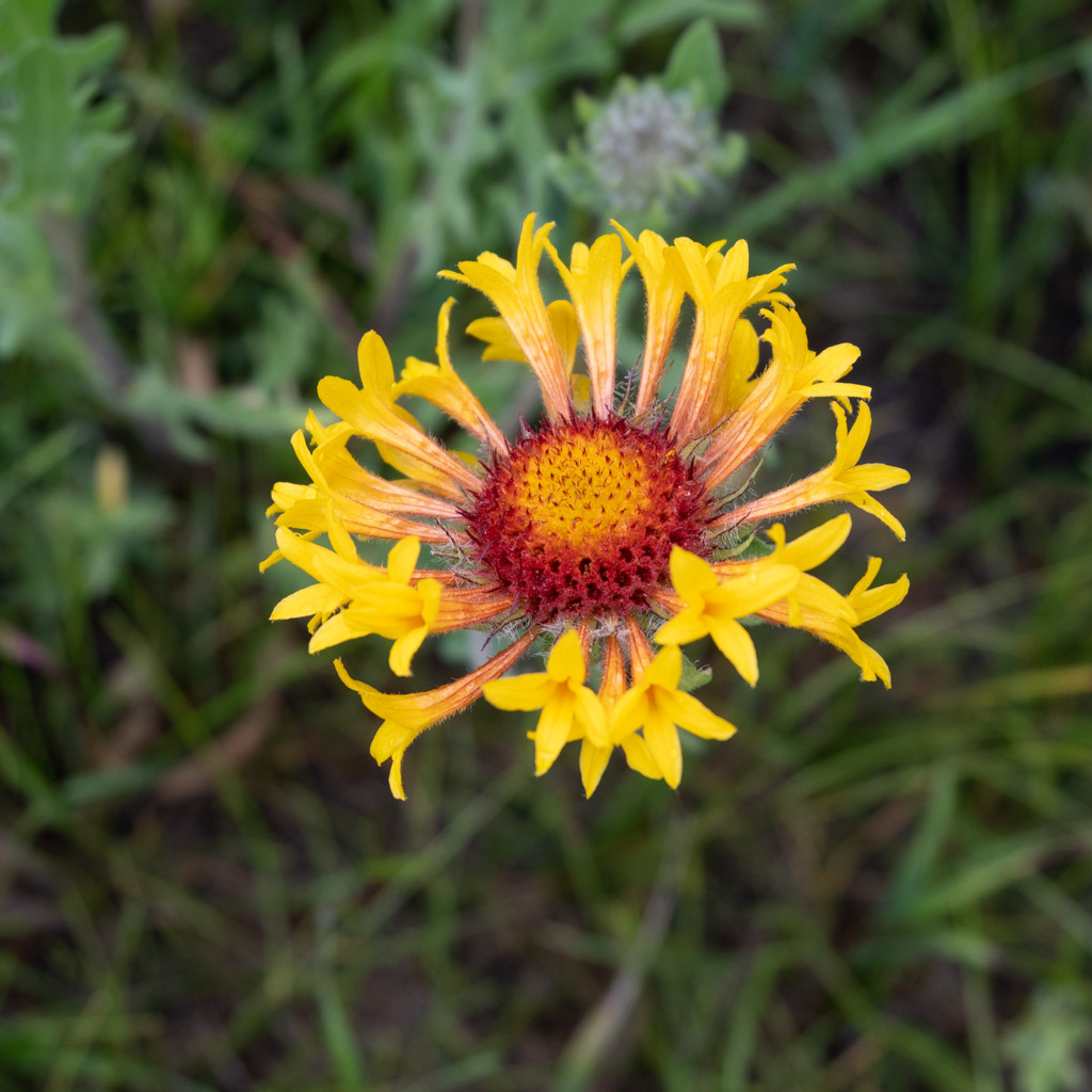
Towards the far end of the trail you walk through exquisite fields of wildflowers. Here are two types of gallardia (blanketflowers) founds next to each other. We guessed that the plant with tubular petals might be the female version?, but I could not find anything to back that up.
One oddity we saw in the woods was old buckets hanging from trees. We couldn’t figure out what that was about.
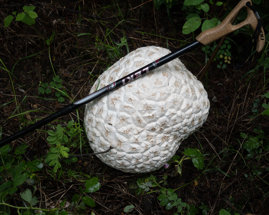
And how about this giant puffball!
Thanks go to John S. for scouting and leading the hike, the Trail Maintenance for all their fine work—especially cutting in the new path on the slope, and to the landowners for their continuing support. You can find more photos on Flickr.
