By Joanne David
Amongst various numerous quarter sections are forested areas which would reveal two beautiful lakes and a geographical secret.
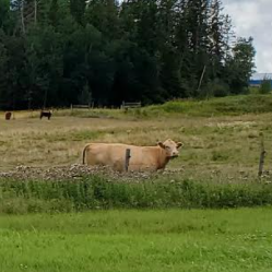
We met at trailhead “A39” (on Township Road 483A) and soon began our journey north over a farmer’s field and onward to Stan’s Bench (from A39 to A38). The cows watched over us curiously.
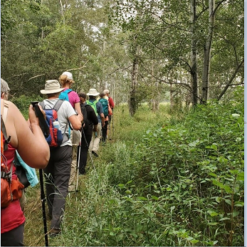
Our journey soon took us to a somewhat steep wooded trail, that some of our members volunteer to maintain and had worked hard to clear the previous week.
Waskahegan Trail volunteers work hard and also have a lot of fun. If interested, you may read more about the efforts of our work parties and perhaps join one.
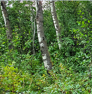
At the top of the hill we walked along a farmer’s wheat field where we experienced a bit of rain. We found shelter along another wooded trail that would eventually take us to Mud Lake.
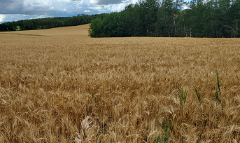
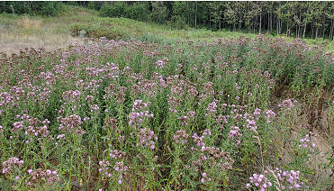
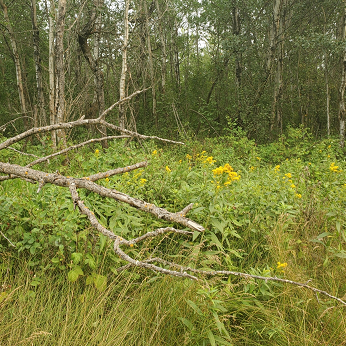
In addition to the farmer’s beautiful wheat fields, we came across fields of thistles and goldenrod, and encountered many flowering plants along the wooded area. We also found a patch of wild blueberries, although not quite in season for picking.
We learned many things along the way, including how important pets are to the landowners.
And about how important Alberta Saskatoon berries are to hard-working trail explorers.
Soon we would wind up the trail to the top and overlook the valley below.
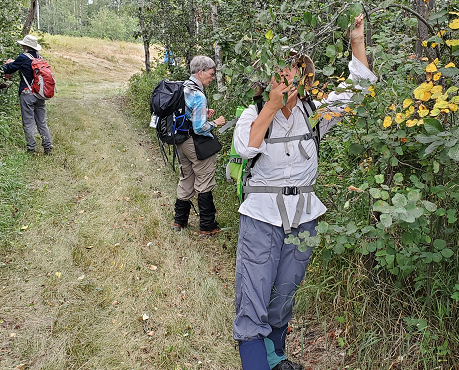
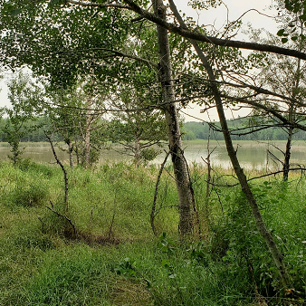
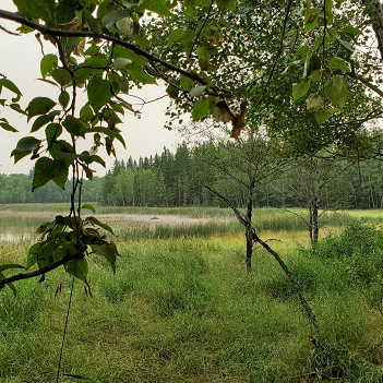
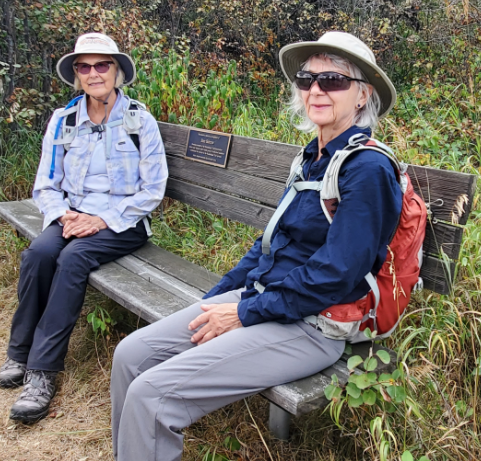
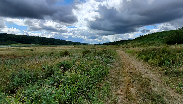
At Stan’s Bench, we overlooked the Gwynne Valley. To the northeast, we would view Mud Lake, the starting point of Blackmud Creek, which eventually travels through Edmonton merging with Whitemud Creek before winding north and merging into the North Saskatchewan where it flows on to North Battleford.
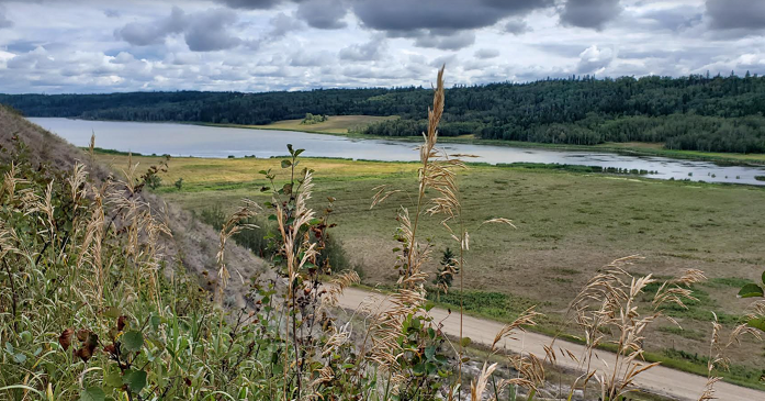
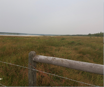
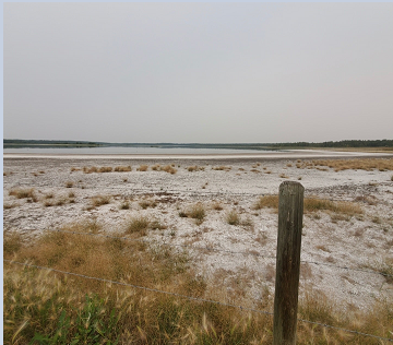
To the south of Stan’s Bench, we could see the north end of Coal Lake, a source of Battle River, which flows south and then east to also merge into the North Saskatchewan, at North Battleford. Thus, Stan’s Bench is the great divide and starting point of a watery flowing journey running both north and south and then east towards Saskatchewan.
As we pondered the mysteries of water flowing both north and south from this very point, a few of us took a moment to consider Stan, one of the founding trail maintenance members.
We could understand why Stan found this spot so special.
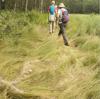
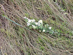
We wound down the hill from Stan’s Bench where we met more interesting flowers and grassy knolls.
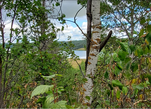
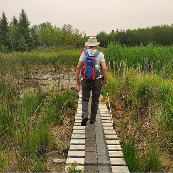
At the bottom, we found an excellent open field overlooking Mud Lake where we enjoyed our lunch break immensely.
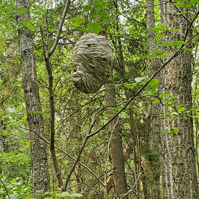
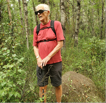
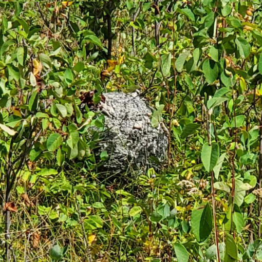
We did not realize until later that there was a wasp nest in our midst. This of course inspired us to continue our journey homeward.
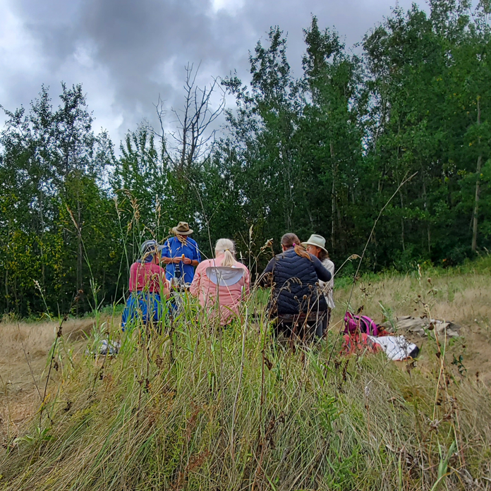

August is a wonderful month to study Alberta treasures.
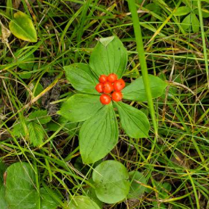
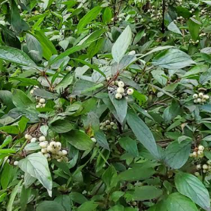
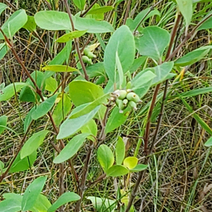
On our return, cows mooed in increased unison, and again eyed our presence, perhaps sorry to see us leave so soon.
Overall, it was an exciting trip that both veteran and newcomer trail hikers can enjoy. It is an honour and privilege to be a member and to be able to access these lands.
Many thanks to our hike leader Johanna Fischer who brought us safely through forest hills and expansive vistas, and back again through the myriad of cows, returning safely once again to our vehicles.
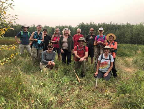
Thank you also to the 15 people that joined our hike today.

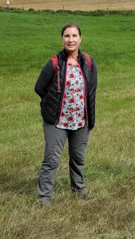
If you are interested to join a future Waskahegan Trail hike or become a member, please join us. See you on the trail!
Photo credit: Joanne David.
You can find more photos for this hike on flickr.
