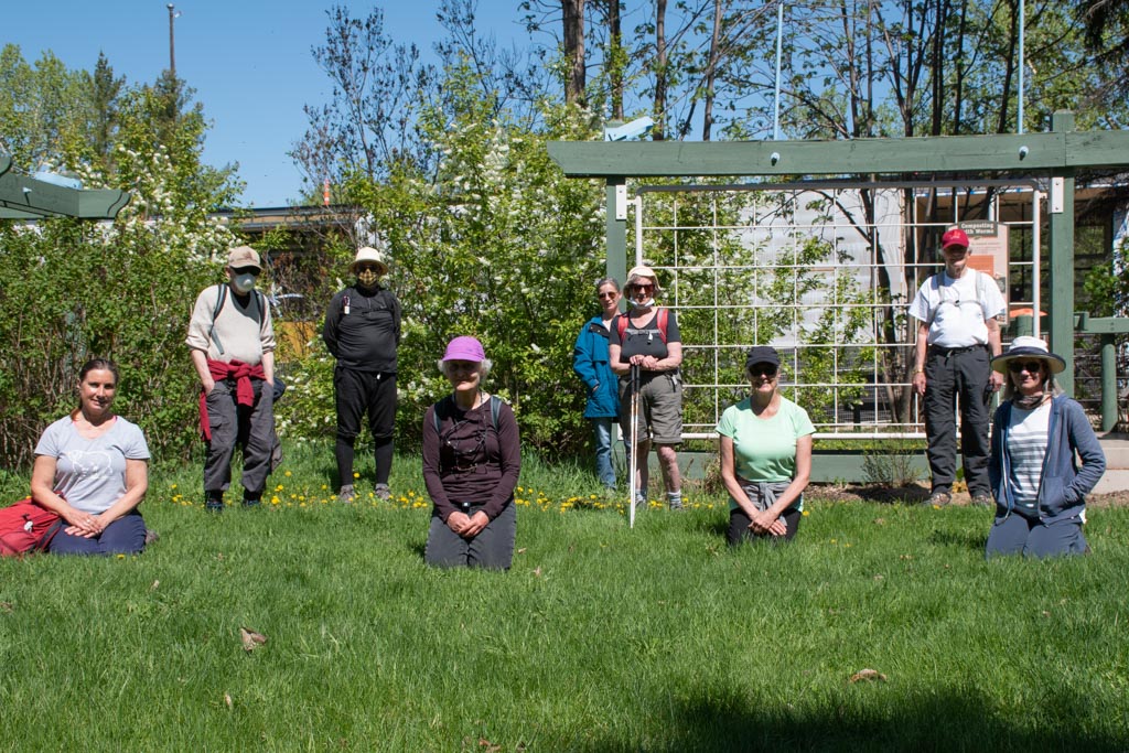
On May 24, 2020, we had our first group hike since the COVID-19 Pandemic. Nine people came out on the beautiful sunny Sunday morning, prepared to take all the precautions so that we wouldn’t provoke a rebound of the dreaded infection and mess up the government’s stats just as things were getting better.
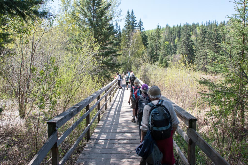
How wonderful it was to hike with old friends again. Keeping the 2 meter distance wasn’t difficult, even as the trail grew more crowded with other walkers, runners, families with children, and bird watchers. It’s a good thing that we start our hikes so early in the day.
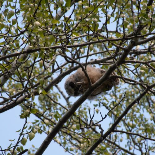
A highlight of the day was observing the baby owl perched high up in the branches, directly over the path. It looked a large ball of fluff.
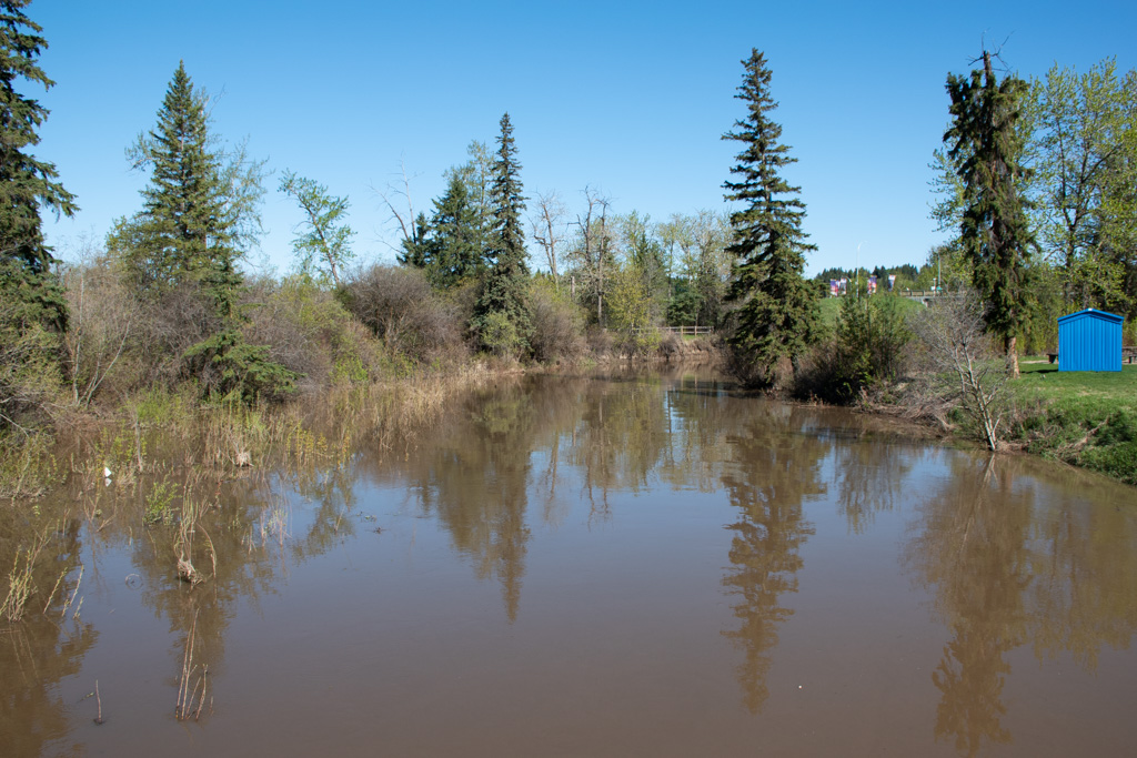
Our hike took us up to the mouth of Whitemud Creek and then left along the river. We could only go so far, as the trail was flooded because the waters were so high from recent rainfall. Here’s what Whitemud Creek looked like:
Lunch was outside the John Janzen Nature Centre, where we spread ourselves out among the many picnic tables.
Thanks to John Scotvold for leading the hike. You can find more photos on Flickr.