By Joanne David
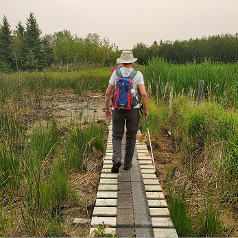
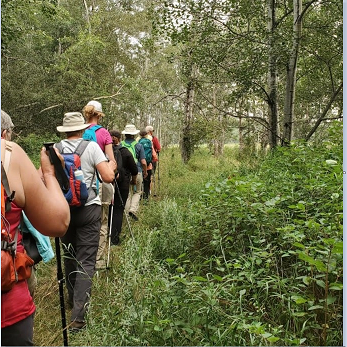
A number of people came out to the South Miquelon Lakes Hike yesterday. It was a smoke-filled day which was hot and humid. We met at the trailhead along Rabbit Run Road and began the diverse 6.7 km southern loop trail, walking along the “Blue Route” then returning along the “Yellow Route.”
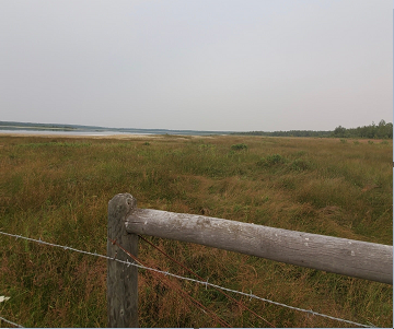
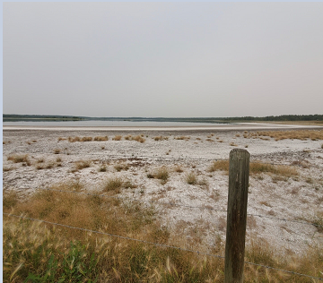
Almost at once, we noticed that the water areas were shallow; where the docks were once floating, they were now touching the ground.
Much of the grassy alley was uneven, necessitating careful navigation of terrain. Nothing our group could not handle.
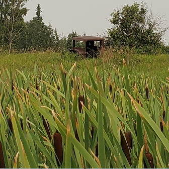
We came across an interesting rusted-out vehicle and wondered about its past.
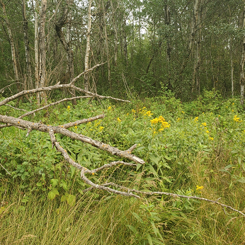
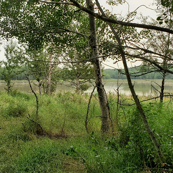
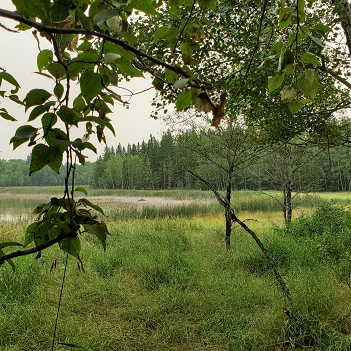
The grassy fields would soon meet the forest, where we would begin to see the lakes.
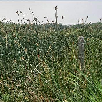
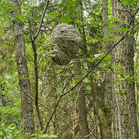
Since the Miquelon Lake area had once been underwater, the result was many wooden pockets of trees, which were initially some of the higher-ground islands and alleyways (when the lake better covered the area). Surrounding these forest areas are vast pasture areas holding long grass and wildflowers. At one point we met a surprise wasp’s nest, which fortunately for us, was benign.
Through the trees, we could see Miquelon Lake #1, and a couple of beaver lodges along the water.
After spotting a Red Tailed Hawk, we winded around the “Blue Route,” and eventually found the south side of Miquelon Lake #2,
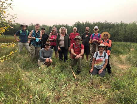
where we were happy to stop for lunch and a group photo.
.
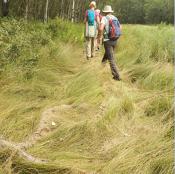
After lunch, we then headed back along the “Yellow Route.”
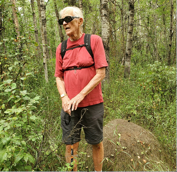
Many thanks to our hike leader John Scotvold. John was one of a team of eight that maintained the trail in fine shape.
If you are interested to join a future Waskahegan Trail hike or become a member, please join us. See you on the trail!
Photo credit: Joanne David, Mary MacArthur (group photo).
You can also view the photos, and others, on flickr.